
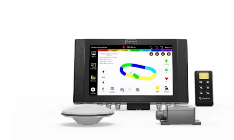
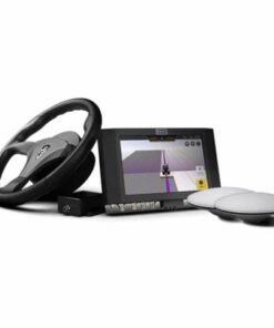
The FJD AL01 3D Land Leveling System is an advanced solution designed to optimize farmland leveling and terrain planning. By leveraging high-precision GNSS and RTK positioning technologies, it ensures a smooth and uniform terrain, enhancing water management and crop production.
Key Features:
-
High Precision Leveling: Achieves up to 2.5 cm accuracy, increasing efficiency by 40% compared to traditional methods.
-
Streamlined Terrain Design: Users can efficiently create project designs by setting benchmarks, drawing field boundaries, and collecting interior points, all within a single workflow.
-
Versatile Application Scenarios: Suitable for reclaiming wasteland, consolidating and leveling fields, converting slopes into terraces, and optimizing water usage in rice paddies.
Benefits:
-
Increased Work Efficiency: Enhances operational efficiency by 40%.
-
Reduced Fuel Consumption: Lowers fuel usage by 10%.
-
Water Conservation: Decreases water consumption by 22%.
These benefits contribute to improved productivity and resource savings.
Standard Components:
-
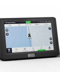
Control Terminal: Displays real-time leveling status, vehicle position, and RTK information.
-
Handheld Keypad: Allows accurate control in challenging environments.
-
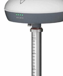
GNSS Antenna: Receives precise positioning and orientation data.
-
IMU (Inertial Measurement Unit): Calculates and communicates the blade’s real-time position to the control terminal.
-
Radio and 4G Antennas: Receive RTK signals from base stations and networks, ensuring consistent accuracy.
Be the first to review “FJD AL01 3D Land Leveling System”
Related products
-2-247x296.webp)
Precision Agriculture
Precision Agriculture

Precision Agriculture

Precision Agriculture

Precision Agriculture

Precision Agriculture

Precision Agriculture
Precision Agriculture
Reviews
There are no reviews yet.